|
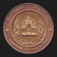
Ranong (ระนอง)
Thai.
Name of a province (map)
and its capital city, located in the Southwest of the Thai peninsula,
along the Andaman Sea, 568 kms South of
Bangkok and
situated on a small neck of land known as Kokod Kra, the Isthmus
of Kra (fig.),
with a unique marine estuary that contains the largest preserved
mangrove forests of Thailand. The city has a population of about 18,000 and
borders
Myanmar, separated by the Kraburi River (map
-
fig.).
The province's name derives from
the saying ‘Raenong’ which refers to both its natural resource of tin which is a
mineral (rae) and the name of the city's first ruler, Nai Nong. He was the person in charge and an able ruler of the
mu ban Ponrang in the present-day
tambon Bang Rin. He was rewarded the
bandasak of
Luang Ranong at the end of the
Ayutthaya Period. The province has four
amphur and one
king amphur.
Its
places of interest include Raksawarin Public Park
and Hot Spring (map
-
fig.), Phu Khao Ya Grass Hill (fig.), Punyabaan
Waterfall (map
-
fig.),
a city lake (map
-
fig.),
etc. See also
Ranong data file.
回


|